07 · Davis County · Researched & sourced
Bountiful
A bench city shaped by settlement and hillside.
Bountiful’s long civic history and connected foothill trail network offer two scales for understanding the city.
Begin the storyA place introduction
A bench city shaped by settlement and hillside.
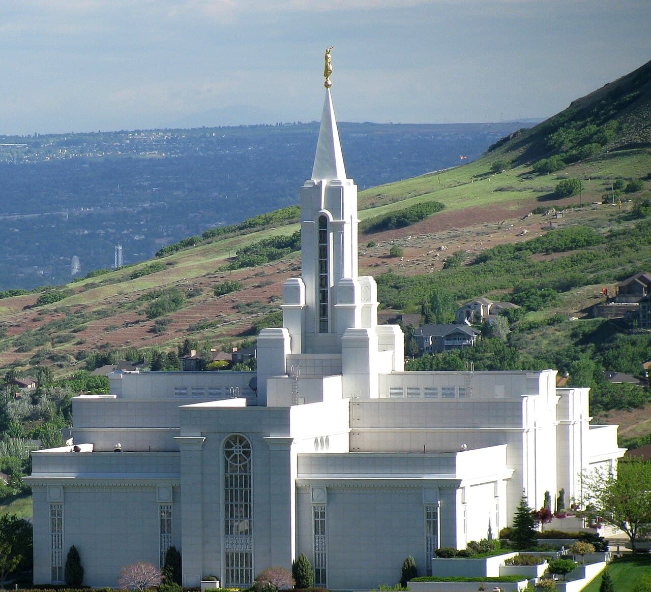
Bountiful’s official history traces a settlement that grew north of Salt Lake City and gradually moved up the old lake terraces. Today, the city’s hillside trail plans and public parks add another layer: a strong relationship between established streets and the rising terrain to the east.
Civic roots
The older city began on the valley floor.
Bountiful City’s official history describes the community’s early settlement, its original townsite, and the gradual addition of roads, water, electricity, schools, and civic institutions.
Reading that history alongside the present street grid makes the city’s growth toward the bench easier to recognize.
Sources: Bountiful City History
Hillside network
Trails connect the city to the terrain above it.
Bountiful City’s trail plan identifies a connected network that includes the Bonneville Shoreline Trail, canyon routes, paved links, and neighborhood trailheads.
That network turns the foothill edge into an everyday discovery lens: access can be considered as a relationship between streets, parks, and trail connections rather than as a single destination.
Sources: Bountiful Trails Master Plan
Community spaces
Parks bring the larger landscape back to daily scale.
The city’s parks directory organizes a range of public spaces and links residents onward to trail information.
For buyers comparing parts of Bountiful, the useful question is not which area is ‘best,’ but which mix of street, park, and hillside connection feels right for ordinary life.
Sources: Bountiful City Parks · Bountiful Trails Master Plan
Your real-estate conversation
Turn inspiration into useful questions.
A Bountiful property conversation can begin with the kind of setting you want—closer to the older city grid, nearer everyday public spaces, or more directly connected to the hillside and its changing views.
A place-first framework for exploring Bountiful without unsupported market claims.Continue through The Utah 50
Explore the places in this story.
Evidence ledger
Read the sources behind this story.
Every factual chapter above points here. Sources are official municipal, state, federal, destination, or clearly identified community-owner publications.
- 01Bountiful City HistoryVisit website
Bountiful City
- 02Bountiful City ParksVisit website
Bountiful City
- 03Bountiful Trails Master PlanVisit website
Bountiful City